Weather India: IMD Warns of Extreme Rain in Telangana
IMD’s 24 September bulletin flags isolated extreme rain in Telangana, Odisha and Chhattisgarh after a deep depression crossed the coast.
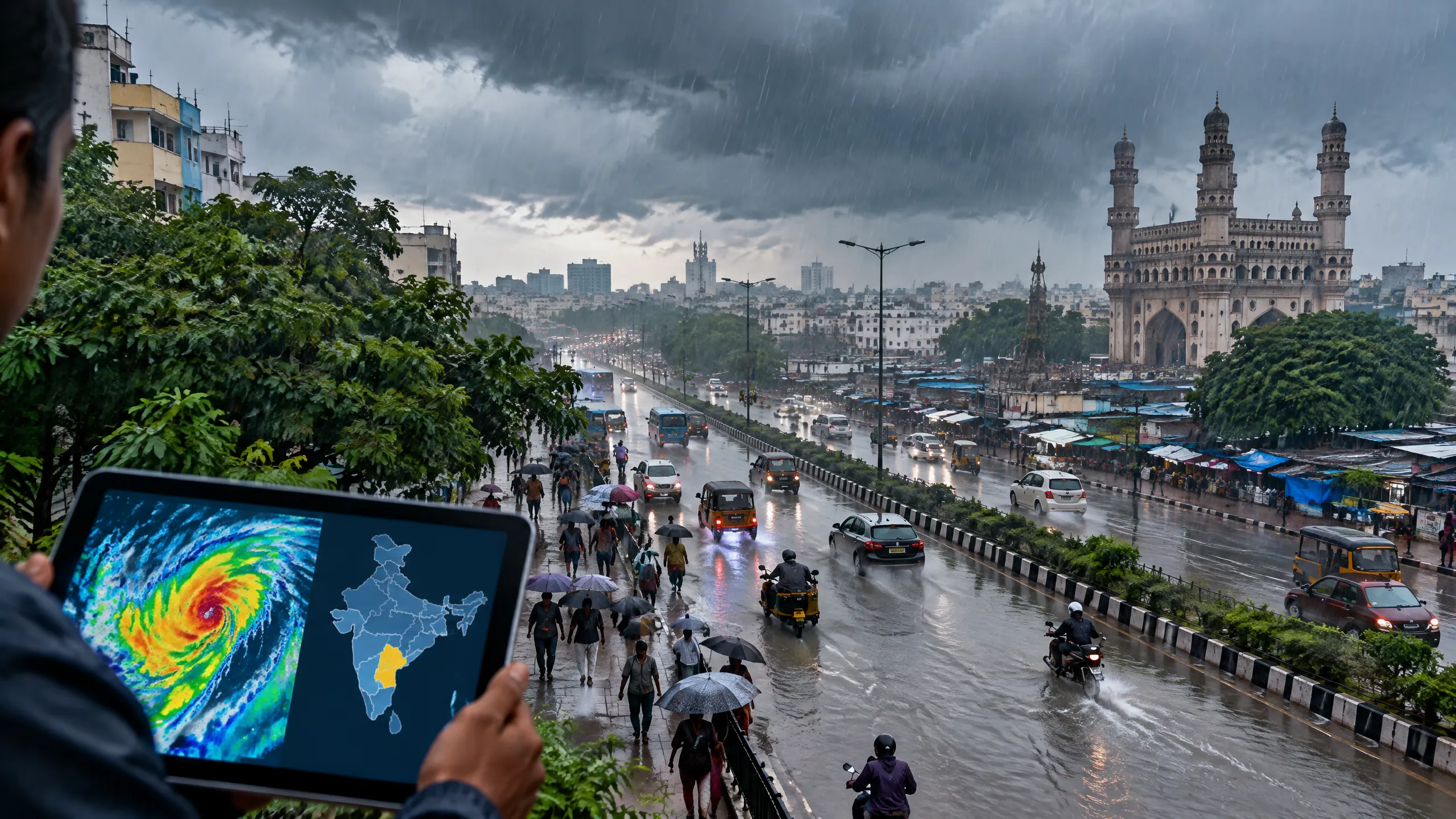
- IMD said a deep depression crossed the north Andhra Pradesh coast near southwest of Kalingapatnam between 2300 IST on 23 September and 0100 IST on 24 September.
- For 24 September, the national bulletin forecast heavy to very heavy rain with isolated extremely heavy rain over Telangana, Odisha, Chhattisgarh and Coastal Andhra Pradesh.
- IMD Hyderabad placed five Telangana districts under a red warning for isolated very heavy to extremely heavy rain on 24 September; eight more districts were under orange warning.
- The national forecast also included thundersqualls of 50–60 kmph, gusting to 70 kmph, at isolated places in Telangana, Odisha, Chhattisgarh and Coastal Andhra Pradesh.
- IMD’s low-to-moderate flash-flood-risk outlook through 0530 IST on 25 September covers specified watersheds and neighbourhoods, not every place in the named states.
- The bulletin advises fishermen not to venture into the specified Bay of Bengal waters and along the Andhra Pradesh, Odisha and West Bengal coasts until 25 September.
Weather India update: what is happening on 24 September
The India Meteorological Department (IMD) has warned of heavy to very heavy rain with isolated extremely heavy rain in Telangana, Odisha, Chhattisgarh and Coastal Andhra Pradesh on Wednesday, 24 September. The immediate weather India concern is tied to a deep depression that had already crossed the north Andhra Pradesh coast near southwest of Kalingapatnam between 2300 IST on 23 September and 0100 IST on 24 September, according to IMD’s 0925 IST national bulletin.
That crossing is an observed condition, not a forecast. At 0530 IST on 24 September, IMD located the system over north coastal Andhra Pradesh, about 50 km west of Kalingapatnam and 80 km north-northeast of Visakhapatnam. The department forecast that it would initially move northwest while maintaining deep-depression intensity for about 12 hours, then move north-northwest and weaken gradually in the following 24 hours. Its track and intensity remain subject to updated official bulletins.
A warning describes the risk in a defined place and time; it does not mean that every town in a named state is experiencing severe weather. IMD says its daily forecast and warning window runs from 0830 IST on that date to 0830 IST the next day. Readers should check the latest district nowcast before travel or outdoor work.
Telangana districts in the 24 September warning
IMD Hyderabad’s 23 September bulletin placed Komuram Bheem Asifabad, Mancherial, Jayashankar Bhupalpally, Mulugu and Bhadradri Kothagudem under a red warning for 24 September. The stated hazard is very heavy to extremely heavy rainfall at isolated places. ‘Isolated’ is important: the warning does not state that the whole district will receive the same intensity of rain.
The orange warning, for heavy to very heavy rain at isolated places, covers Adilabad, Jagtial, Karimnagar, Peddapalli, Khammam, Mahabubabad, Warangal and Hanumakonda. A yellow warning for heavy rain at isolated places covers Nirmal, Nizamabad, Rajanna Sircilla, Nalgonda, Suryapet, Jangaon, Siddipet, Yadadri Bhuvanagiri, Mahabubnagar, Nagarkurnool, Wanaparthy and Jogulamba Gadwal.
The Hyderabad bulletin also forecasts thunderstorms with lightning and squally winds of 45–55 kmph, gusting to 65 kmph, at isolated places across a longer list of Telangana districts on 24 September. For Hyderabad city and its neighbourhood, its preceding local forecast called for generally cloudy conditions and light to moderate rain or thundershowers with gusty winds; that city forecast should not be read as the red-warning forecast for the five listed districts.
The wider forecast: Odisha, Chhattisgarh and Coastal Andhra Pradesh
For the 24 September warning period, IMD’s national bulletin forecasts heavy to very heavy rain with isolated extremely heavy rain over Chhattisgarh, Coastal Andhra Pradesh, Odisha and Telangana. It also forecasts thundersqualls at isolated places in those four areas, with winds reaching 50–60 kmph and gusting to 70 kmph. Elsewhere, heavy to very heavy rain is forecast at isolated places over Bihar, Jharkhand, Vidarbha and West Bengal and Sikkim, while a number of other regions carry heavy-rain or thunderstorm forecasts.
The latest bulletin separates these forecasts from what was already observed. From 0830 IST on 23 September to 0530 IST on 24 September, IMD reported rain at most places in Coastal Andhra Pradesh and Yanam, Odisha, Telangana and Chhattisgarh among other regions. It recorded 24 cm at Visakhapatnam in that reporting period, and described isolated extremely heavy rain over Coastal Andhra Pradesh and Yanam. Those observations do not establish the final rainfall totals for 24 September or predict the amount at another location.
The expected pattern changes after the current day. IMD’s 25 September outlook retains heavy to very heavy rain at isolated places over Chhattisgarh, East Madhya Pradesh, East Uttar Pradesh, Odisha, Sub-Himalayan West Bengal and Sikkim, Telangana and Vidarbha. By 26 September, it lists heavy to very heavy rain at isolated places over Chhattisgarh, East Madhya Pradesh, East Uttar Pradesh, Odisha and Uttarakhand. These are forecast outlooks, not confirmed rainfall.
Flash-flood and coastal conditions: the limits of the warning
IMD’s flash-flood-risk product gives a low-to-moderate risk through 0530 IST on 25 September for specified watersheds and neighbourhoods. In Telangana, the named districts are Khammam and Bhadradri Kothagudem. The list also includes eight districts in Coastal Andhra Pradesh and Yanam, including Srikakulam, Vizianagaram, Parvathipuram Manyam, West Godavari, Krishna, Eluru, Dr B. R. Ambedkar Konaseema and NTR, as well as named areas in Odisha, Chhattisgarh and Gangetic West Bengal.
This is a risk outlook for susceptible watersheds and low-lying areas where runoff or inundation may occur; it is not a confirmation that flooding has occurred across every listed district. Local administration notices, road closures and district-level updates are the appropriate sources for a particular route or neighbourhood.
At sea, IMD forecasts rough to very rough conditions over the west-central and north-west Bay of Bengal, and along and off the north Andhra Pradesh, Odisha and West Bengal coasts, through the evening of 24 September before gradual improvement. It advises fishermen not to venture into the west-central Bay and adjoining north-west and south-west Bay, or along and off the Andhra Pradesh, Odisha and West Bengal coasts, until 25 September.
What the warning means for people and farmers
The national bulletin identifies possible local waterlogging, inundation in low-lying areas, reduced visibility, disruption to road or rail movement, damage to loose objects and vulnerable structures, and effects on small boats. These are potential impacts, not a report that each impact has occurred. Conditions can differ sharply over short distances during thunderstorms and intense rain.
IMD advises people to monitor worsening conditions, be ready to move to a safer place where instructed, take safe shelter and avoid sheltering under trees during lightning. It also says people should leave water bodies and keep away from objects that conduct electricity when lightning is expected. Follow any directions issued by district authorities and emergency services rather than relying on this article for location-specific safety decisions.
For agriculture, IMD’s advisory calls for drainage to limit water stagnation and postponing fertiliser and plant-protection work in Telangana until conditions are suitable. It similarly advises drainage and protection of harvested produce in Odisha, Coastal Andhra Pradesh and Chhattisgarh. These are general weather advisories; crop-specific decisions should use the local agromet service and field conditions.
How to read IMD updates without overstating them
Use the live IMD district warning and nowcast products for a fresh view, because this article reflects the 24 September morning national bulletin and the 23 September Hyderabad bulletin. A red warning is a ‘take action’ signal in IMD’s bulletin; it is not evidence that extreme rain has already fallen in every red-colour district. Equally, a yellow or orange warning should not be ignored when lightning, local flooding or travel are relevant.
For context on how a dated warning differs from a wider pattern, read Reddy News’s earlier [Gujarat rain warning for 15 September](https://metalscommoditytrading.com/india/gujarat-rain-warning-september-15-2026-imd-districts/) and [guide to reading monsoon patterns](https://metalscommoditytrading.com/india/reading-the-monsoon/). Those articles concern different dates and contexts and are not substitutes for the current local forecast. Readers looking at longer-term water resilience can also see [India International Water Week’s 2026 agenda](https://metalscommoditytrading.com/business/india-international-water-week-2026-water-tech-agenda/).
The practical takeaway
The strongest immediate warning on 24 September is in parts of Telangana, alongside the national extreme-rain outlook for Odisha, Chhattisgarh and Coastal Andhra Pradesh. Check the warning level for the exact district, distinguish IMD’s observed conditions from its forward-looking forecast, and leave coastal or outdoor plans flexible where official notices advise it. There is no basis in the bulletin to assume identical conditions across an entire state or to treat a multi-day outlook as a confirmed outcome.
Reader guide
Article questions, answered
Short answers to common reader questions based on the reporting above.
Which Telangana districts are under a red warning on 24 September 2026?
IMD Hyderabad named Komuram Bheem Asifabad, Mancherial, Jayashankar Bhupalpally, Mulugu and Bhadradri Kothagudem for very heavy to extremely heavy rainfall at isolated places on 24 September. Check an updated district product because warnings can change.
Has the deep depression already crossed the coast?
Yes. IMD’s 24 September morning bulletin says it crossed the north Andhra Pradesh coast near southwest of Kalingapatnam between 2300 IST on 23 September and 0100 IST on 24 September as a deep depression. The bulletin then located it over north coastal Andhra Pradesh at 0530 IST.
Does a red weather warning mean every part of a district will have extreme rain?
No. The Telangana bulletin says the expected very heavy to extremely heavy rainfall is at isolated places. A warning identifies the possible hazard and area; actual intensity can vary within the district.
Which states have an isolated extremely heavy rain forecast on 24 September?
IMD’s national Day 1 outlook lists Chhattisgarh, Coastal Andhra Pradesh, Odisha and Telangana for heavy to very heavy rainfall with isolated extremely heavy rainfall on 24 September.
What is the flash-flood risk period in IMD’s bulletin?
The low-to-moderate flash-flood-risk outlook runs until 0530 IST on 25 September for specified watersheds and neighbourhoods in listed districts. It is a risk assessment, not confirmation of flooding in all named places.
Are fishermen advised to go to sea on 24 September?
No. IMD advises fishermen not to venture into the west-central Bay and adjoining north-west and south-west Bay, or along and off the Andhra Pradesh, Odisha and West Bengal coasts, until 25 September.
How long is an IMD daily forecast and warning valid?
The national bulletin says a forecast and warning for a given day is valid from 0830 IST that day until 0830 IST the following day. Later bulletins may revise the area, timing or intensity.
Sources and further reading
These references support the factual context used in this article. Links open the original publisher.
- All India Weather Summary and Forecast Bulletin, 24 September 2026, 0925 ISTIndia Meteorological Department · accessed 24 September 2026
- Press Release: 23 September 2026 — Telangana forecast and warningsIndia Meteorological Department, Meteorological Centre Hyderabad · accessed 24 September 2026
- Deep Depression over Westcentral and adjoining Northwest Bay of Bengal, 23 September 2026India Meteorological Department · accessed 24 September 2026
- Red alert in five Telangana districts on September 24The Hindu · accessed 24 September 2026